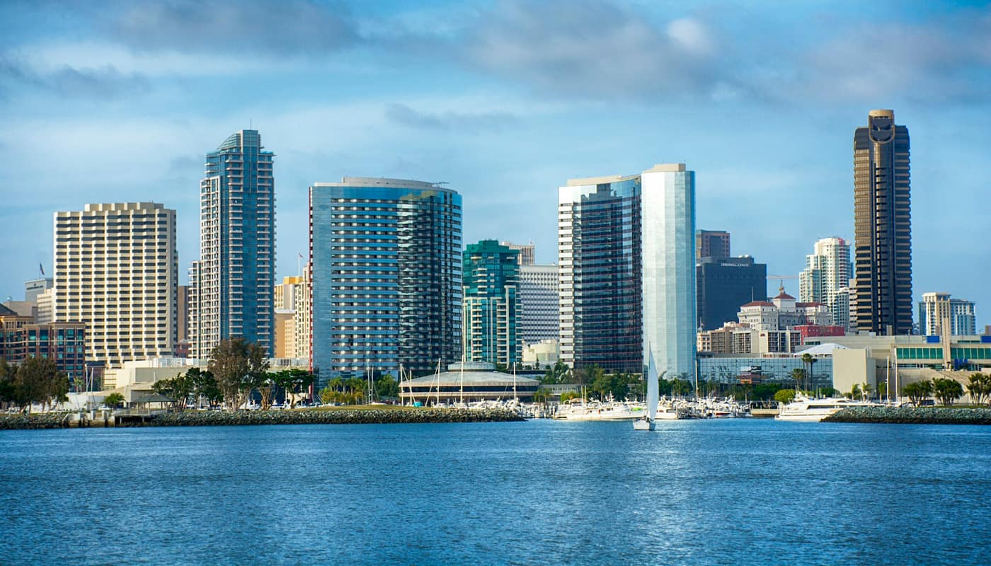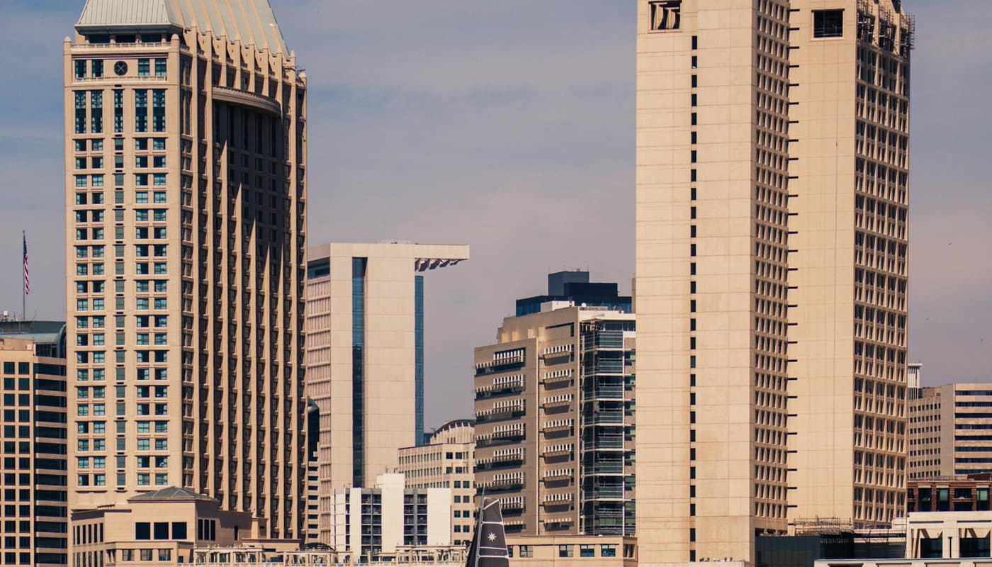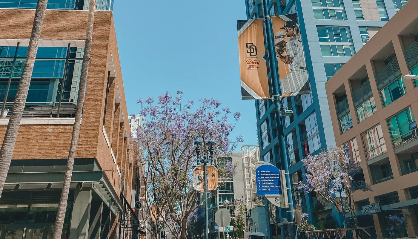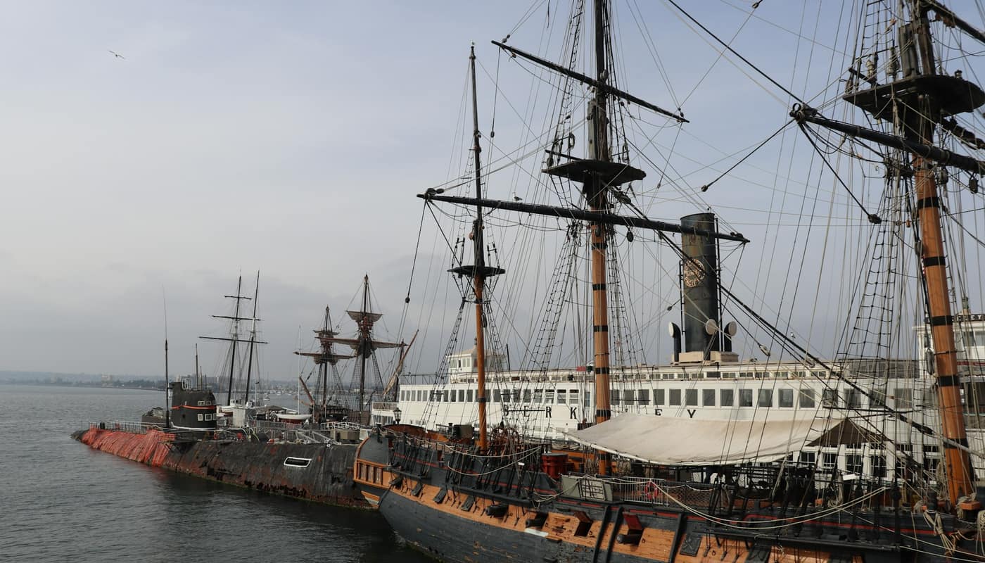
Walk along the Embarcadero, board a harbor cruise, rent a kayak on Shelter Island or watch a cruise ship slide past the Coronado Bridge, and there is a good chance the ground under your feet belongs to an agency most visitors never think about. The Port of San Diego is often pictured as a place where ships dock. In practice it is a public landlord, a planner, a police department and a steward of environmental land, all attached to one of the region’s most valuable stretches of shoreline.
What is the Port of San Diego?
The Port is a special district created by the California Legislature in 1962 to manage San Diego Bay and the land along its edge. Before that, the cities around the bay each controlled their own piece of the waterfront, and the City of San Diego’s harbor department handled its section. The state legislation consolidated the work under one regional body.
Today the Port oversees about 34 miles of waterfront in five cities: San Diego, Chula Vista, Coronado, Imperial Beach and National City. It is not a city department or a county agency. It is an independent public entity that exists because California law treats the shoreline of navigable waters as something the state holds in trust for the public.
How is the Port governed?
A Board of Port Commissioners sets policy. The board has seven members, appointed by the city councils of the five member cities. The City of San Diego appoints three commissioners, and each of the other four cities appoints one. That formula gives the largest city the most voice without giving it control, and it makes the Port’s board a rare place where elected officials from five cities negotiate directly over shared land.
The commissioners hire a chief executive and staff, and they hold public meetings with agendas posted ahead of time. As with other agencies of this kind, the public can speak during comment periods, and board votes on leases, plans and budgets are public records.
What is the Tidelands Trust?
The Tidelands Trust is the legal idea that explains most of the Port’s decisions. Under California law, tidelands and submerged lands are held by the state for the benefit of all residents, and the state delegated management of San Diego Bay’s tidelands to the Port. That means these lands must serve statewide public purposes, which have traditionally included commerce, navigation, fisheries, recreation and environmental protection.
The practical consequence is that the Port cannot simply sell waterfront land for housing or private development. A proposed hotel, restaurant or marina has to fit within the trust’s purposes and within the Port’s master plan, and many projects also need approval from the California Coastal Commission, which reviews coastal development, a body explained in what the California Coastal Commission does.
What does the Port actually run?
The list is longer than most people expect:
- Maritime terminals. The Port operates cargo terminals, including the Tenth Avenue Marine Terminal in San Diego and the National City Marine Terminal, which handle things like fruit, vehicles and other goods, and it hosts cruise ship calls at its downtown cruise terminal.
- Waterfront real estate. The Port leases land to tenants who operate hotels, restaurants, marinas, boat yards and shops, including large parts of Harbor Island, Shelter Island and the Embarcadero.
- Parks and public spaces. It maintains waterfront parks, piers and walkways, and has created new public spaces, such as areas on the Chula Vista bayfront.
- Environmental programs. The Port monitors water quality, works on habitat restoration, and runs programs related to air quality and climate planning.
- The Harbor Police Department. The Port has its own law enforcement agency, which patrols the bay, the Port’s tidelands and San Diego International Airport.
- Art and events. The Port supports public art on the tidelands and events that bring visitors to the shoreline.
The airport connection is worth underlining. The two agencies share a boundary at the bayfront, and the Port’s police provide services at the airport, which is operated by a separate authority, as described in how the airport is run.
Where does the Port get its money?
The Port describes itself as self-supporting. Rather than relying on a share of city or county taxes, it earns revenue mostly from leases and other business agreements with the tenants on its land, along with fees from maritime activity such as cargo handling, cruise calls and marina operations. It issues bonds for major capital projects and repays them from those revenue streams.
That funding model gives the Port a strong interest in maintaining a healthy mix of tenants and activity, and it is a frequent subject of public debate. Residents sometimes ask whether a tourist-heavy mix of hotels and restaurants serves the public purposes of the tidelands as well as industrial and environmental uses, and the answer is a recurring subject at commission meetings.
Some Port money returns to the member cities in the form of projects and grants that benefit the shoreline, and the Port has made investments in places such as National City and Imperial Beach that are far from the downtown waterfront.
How does the Port plan for the future?
The Port Master Plan is the document that sets out what can be built where on the tidelands. It divides the shoreline into planning districts and describes allowed land uses, public access requirements and environmental protections. Updating it is a long process that involves public workshops, environmental review and certification by the Coastal Commission.
Planners are working within several pressures at once. Sea-level rise threatens low-lying shoreline, the Navy and commercial shipping need continued access to the bay, and the region’s tourism and maritime economies remain tied to the water, a connection explored in the region’s economy. Balancing those uses is the Port’s core challenge.
How does the Port handle air quality and climate?
Ships, trucks and cargo-handling equipment add up to a significant source of pollution in neighborhoods close to the bay, including communities in southeastern San Diego and National City that already face higher exposure. The Port has adopted a maritime clean air strategy that sets goals for cleaner equipment and vessels, and it has built shore power connections that let ships plug into the grid while docked instead of running diesel engines. It also studies how sea-level rise will affect the shoreline. Progress on these goals is reported to the board, and the commitments are among the most closely watched items on the agenda.
Why it matters to residents
For most people, the Port is felt rather than seen. The pleasant waterfront promenade, the working cargo docks, the harbor police boat and the park where children play on a weekend are all examples of its work. Because the land is held in trust, the Port’s decisions about what to build or protect are, at least in principle, decisions about a shared public asset.
Anyone curious about a specific project can read the board’s agendas and the Port Master Plan documents. They reveal, in a way that no brochure does, how a region argues over the place where its land meets the sea.
Sources: Port of San Diego; California State Lands Commission; California Coastal Commission; San Diego Harbor Police